Our Services
We provide professional drone services designed to help construction teams, contractors, and property professionals capture high-quality aerial data and visuals. From detailed mapping and 3D modelling to 4K photography and video, our flexible services make it easy to track progress, share updates, and showcase your work. Whether you need accurate site surveys or stunning promotional visuals, we deliver fast, reliable results tailored to your project.
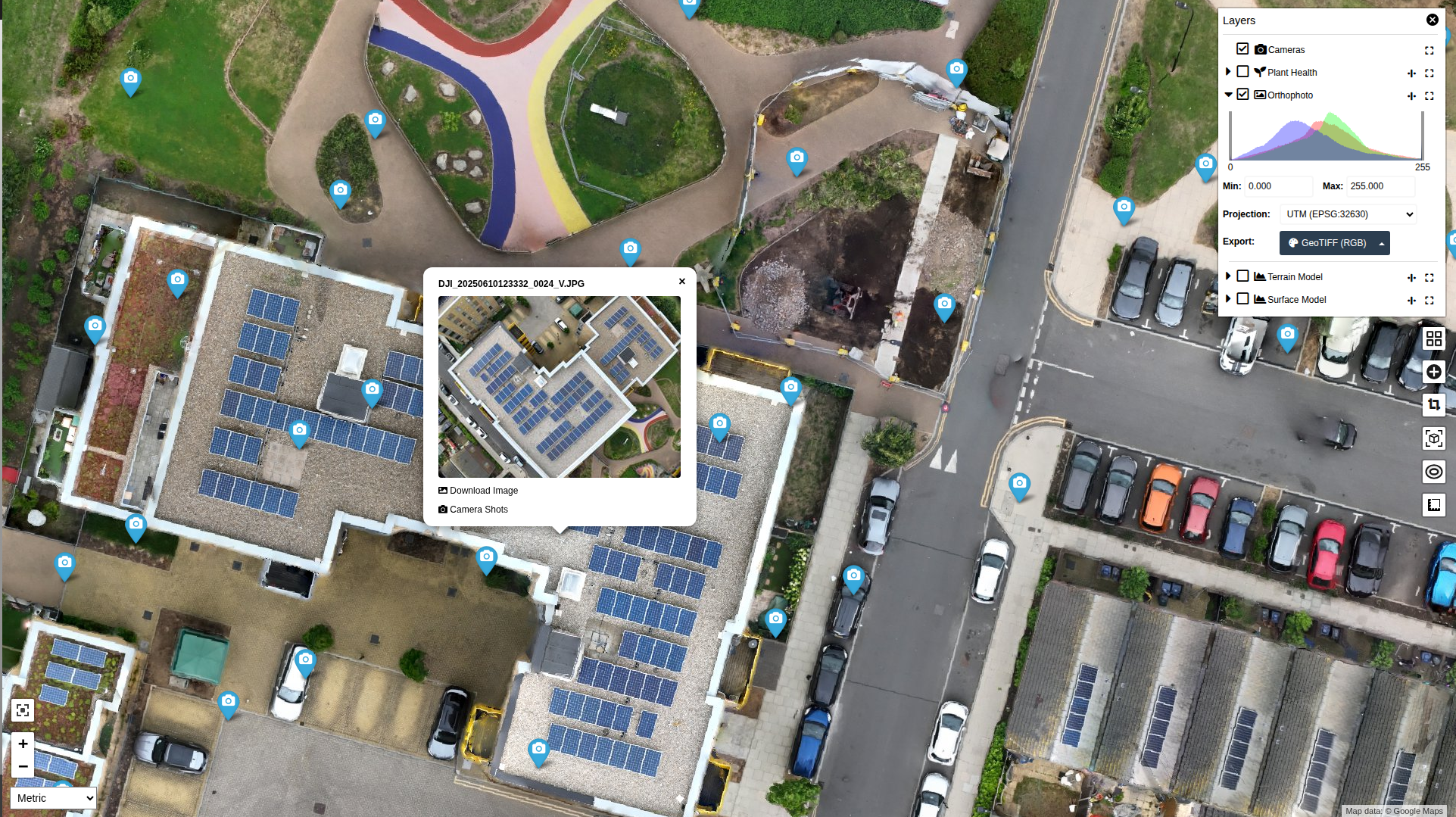
Orthomosaics + Online Viewer Portal
From £399 (Prices Vary based on Acre and location)
High-resolution orthomosaic maps delivered through an easy-to-use online portal. Track progress, share updates with stakeholders, and keep a permanent visual record of your site — all accessible from anywhere, at any time.

3D Photogrammetry
From £499 (Prices Vary based on Acre and location)
Accurate 3D models of your site created from high-resolution drone imagery. Ideal for visualising progress, measuring volumes, planning works, and sharing detailed site views with clients and stakeholders.
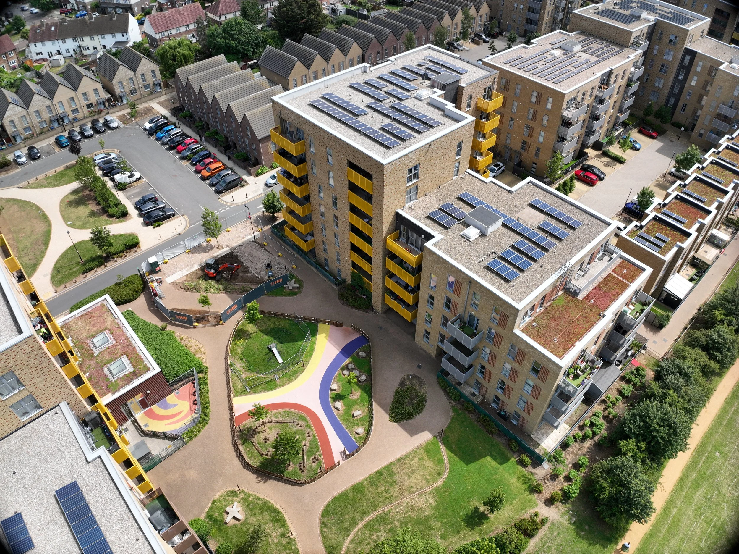
Aerial Photography and Videography
From £199 (Prices Vary based on Acre and location)
High-quality aerial photos and 4K video to showcase your projects, properties, or site progress. Perfect for marketing, stakeholder engagement, and visual project documentation.
Contact us
Interested in working together? Fill out some info and we will be in touch shortly. We can’t wait to hear from you!